Survey of London: Volumes 33 and 34, St Anne Soho. Originally published by London County Council, London, 1966.
This free content was digitised by double rekeying and sponsored by English Heritage. All rights reserved.
Citation:
In this section
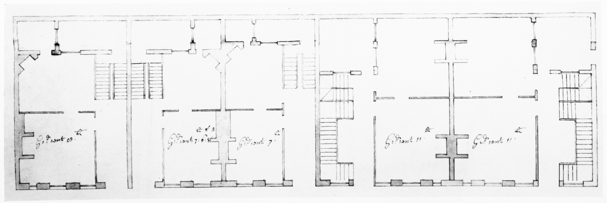
Nos. 6–10 (consec.) Frith Street, preliminary design, 1718 (p. 154)
a. Elevation

Design for elevation and plan of Nos. 6–10 Frith Street.
Elevation
b. Plan

Design for elevation and plan of Nos. 6–10 Frith Street.
Plan


