Page 3
Survey of London: Volume 41, Brompton. Originally published by London County Council, London, 1983.
This free content was digitised by double rekeying and sponsored by English Heritage. All rights reserved.
Citation:
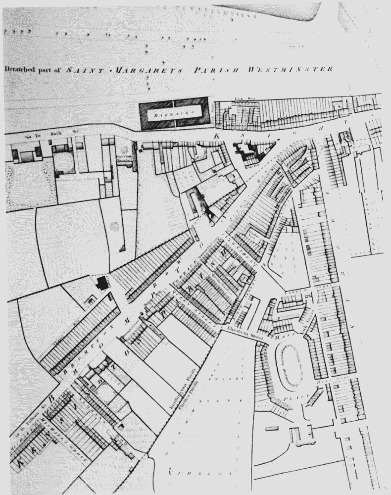
Extract from Horwood's map showing north-east end of Brompton Road and district in 1794

Extract from Horwood's map of 1794 showing Brompton Road area
Extract from Horwood's map showing north-east end of Brompton Road and district in 1794


