Page 102
Survey of London: Volume 41, Brompton. Originally published by London County Council, London, 1983.
This free content was digitised by double rekeying and sponsored by English Heritage. All rights reserved.
Citation:
In this section
Fulham Road near Stamford Bridge
a. (above). from the Black Bull (extreme right) to Stamford Bridge in 1811 (p. 241). all demolished

Extract from Joseph Salway's survey of 1811.
from the Black Bull (extreme right) to Stamford Bridge in 1811 (p. 241). all demolished
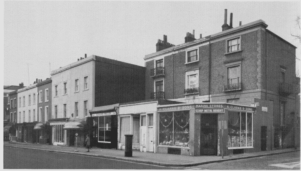
b. Nos. 340-356 (even, right to left), 1844-6, in 1981 (pp. 243-4)

Nos. 340-356 (even, right to left), 1844-6, in 1981 (pp. 243-4)
c. The Black Bull, 1874 (p. 241), and Nos. 360-366 (evan) in 1981

Nos. 340-356 (even) and Black Bull public house and Nos. 360-366 (even) in 1981.
The Black Bull, 1874 (p. 241), and Nos. 360-366 (evan) in 1981


