

Page 29
An Inventory of the Historical Monuments in the County of Cambridgeshire, Volume 1, West Cambridgshire. Originally published by Her Majesty's Stationery Office, London, 1968.
This free content was digitised by double rekeying and sponsored by English Heritage. All rights reserved.
Citation:
Pictorial Estate Maps
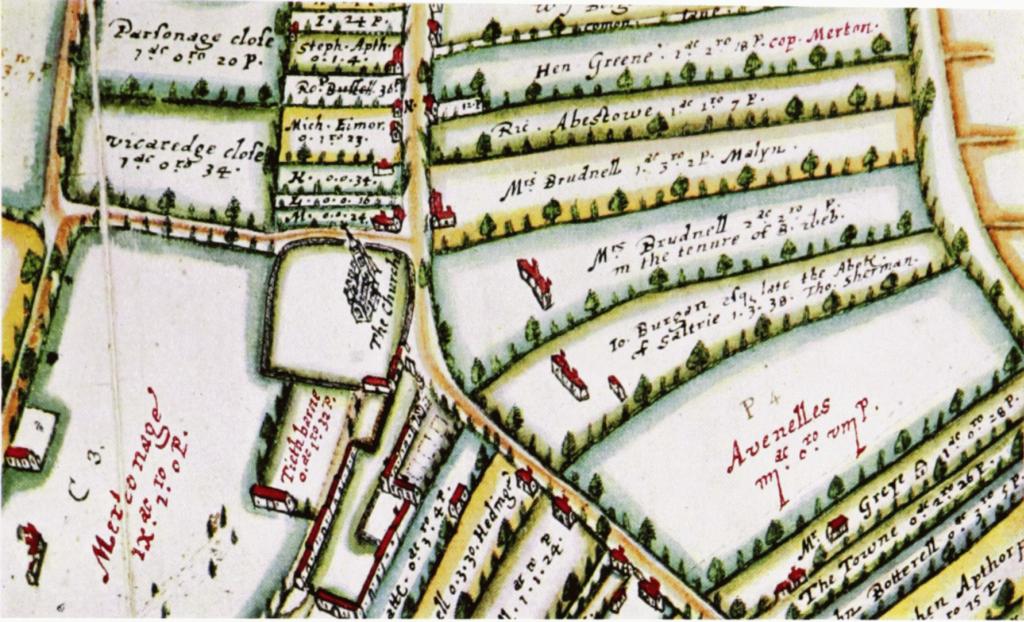
Gamlingay. Detail of map by T. Langdon, 1601. (Merton College, Oxford) Scale 1″ to 250′ /?/
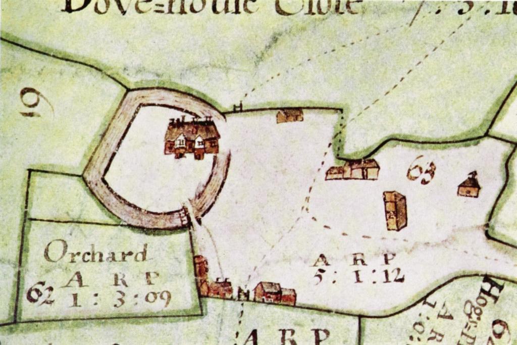
Kingston. (12) Kingston Wood Farm; detail of estate map, 1720. (C.R.O.) Scale 1″ to 170′ /?/