Survey of London: Volume 40, the Grosvenor Estate in Mayfair, Part 2 (The Buildings). Originally published by London County Council, London, 1980.
This free content was digitised by double rekeying and sponsored by English Heritage. All rights reserved.
In this section
a. Nos. 128 Park Lane and 25–27 (consec.) Dunraven Street on 29 April 1941 after damage by bombing (pp. 283, 194).
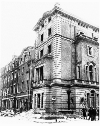
Nos. 128 Park Lane and 25–27 (consec.) Dunraven Street on 29 April 1941 after damage by bombing (pp. 283, 194).
Nos. 25–27 Dunraven Street demolished
b. Nos. 16–19 (consec.) Dunraven Street and 12 North Row (right to left) in 1978.
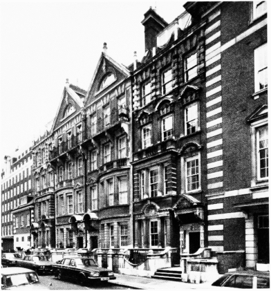
Nos. 16–19 (consec.) Dunraven Street and 12 North Row (right to left) in 1978.
Sidney R. J. Smith, architect, 1897–8 (pp. 195, 196)
c. No. 22 Dunraven Street in 1976, porch (p. 284)
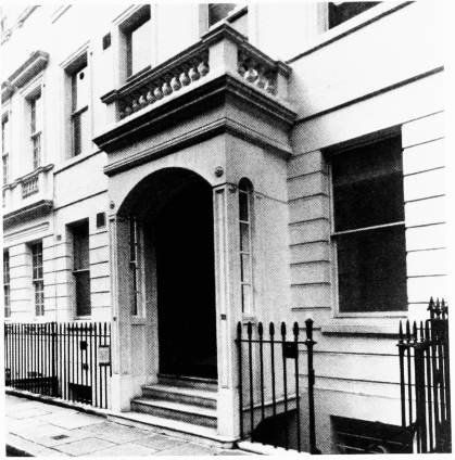
No. 22 Dunraven Street in 1976, porch (p. 284)
d (left). North Row Dwellings in the 1930's R. H. Burden, architect, 1887–9 (p. 196).
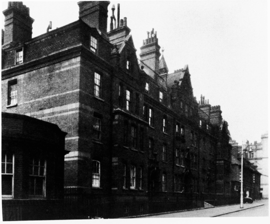
(left). North Row Dwellings in the 1930's R. H. Burden, architect, 1887–9 (p. 196).
Nos. 12 and 14 North Row on extreme right
e. Hereford Gardens, 1866–74, looking east towards Hereford Gardens Mews in 1928 (p. 175).
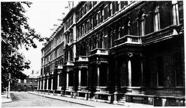
Hereford Gardens, 1866–74, looking east towards Hereford Gardens Mews in 1928 (p. 175).
Demolished


